

Montclair 🇺🇸
-
Nautical Twilight begins:04:49 amSunrise:05:55 am
-
Sunset:07:53 pmNautical Twilight ends:08:59 pm
-
Moonrise:01:54 am
-
Moonset:10:56 am
-
Moon over:06:25 am
-
Moon under:06:45 pm
-
Visibility:59%
-
 Third Quarter Moon
-
Distance to earth:371,077 kmProximity:81.3 %
Moon Phases for Montclair
-
poor Day
-
minor Time:12:54 am - 02:54 am
-
major Time:
 05:25 am -
07:25 am
05:25 am -
07:25 am
-
minor Time:09:56 am - 11:56 am
-
major Time:05:45 pm - 07:45 pm
Tide Clock
Tide Graph
Times
| Tide | Time | Height |
|---|---|---|
| high | 02:04 am | 5.64 ft |
| low | 09:05 am | 0.69 ft |
| high | 02:58 pm | 4.63 ft |
| low | 08:59 pm | 1.12 ft |
| Date | Major Bite Times | Minor Bite Times | Sun | Moon | Moonphase | Tide Times |
|---|---|---|---|---|---|---|
|
Tue, 30 Apr
|
05:25 am -
07:25 am
05:45 pm -
07:45 pm
|
12:54 am -
02:54 am
09:56 am -
11:56 am
|
R: 05:55 am S: 07:53 pm |
R: 01:54 am S: 10:56 am |
Third Quarter Moon |
high: 02:04 am
, 5.64 ft
, Coeff: 103
low: 09:05 am
, 0.69 ft
high: 02:58 pm
, 4.63 ft
, Coeff: 70
low: 08:59 pm
, 1.12 ft
|
|
Wed, 01 May
|
06:22 am -
08:22 am
06:38 pm -
08:38 pm
|
01:34 am -
03:34 am
11:11 am -
01:11 pm
|
R: 05:54 am S: 07:54 pm |
R: 02:34 am S: 12:11 pm |
Third Quarter Moon |
high: 03:08 am
, 5.58 ft
, Coeff: 101
low: 10:14 am
, 0.62 ft
high: 04:00 pm
, 4.82 ft
, Coeff: 76
low: 10:29 pm
, 1.02 ft
|
|
Thu, 02 May
|
07:16 am -
09:16 am
07:30 pm -
09:30 pm
|
02:06 am -
04:06 am
12:27 pm -
02:27 pm
|
R: 05:53 am S: 07:55 pm |
R: 03:06 am S: 01:27 pm |
Third Quarter Moon |
high: 04:13 am
, 5.58 ft
, Coeff: 101
low: 11:16 am
, 0.39 ft
high: 05:04 pm
, 5.15 ft
, Coeff: 87
low: 11:38 pm
, 0.72 ft
|
|
Fri, 03 May
|
08:08 am -
10:08 am
08:21 pm -
10:21 pm
|
02:34 am -
04:34 am
01:43 pm -
03:43 pm
|
R: 05:52 am S: 07:56 pm |
R: 03:34 am S: 02:43 pm |
Waning Crescent |
high: 05:22 am
, 5.61 ft
, Coeff: 102
low: 12:10 pm
, 0.13 ft
high: 06:09 pm
, 5.58 ft
, Coeff: 101
|
|
Sat, 04 May
|
08:59 am -
10:59 am
09:11 pm -
11:11 pm
|
02:59 am -
04:59 am
02:59 pm -
04:59 pm
|
R: 05:50 am S: 07:57 pm |
R: 03:59 am S: 03:59 pm |
Waning Crescent |
low: 12:39 am
, 0.36 ft
high: 06:29 am
, 5.74 ft
, Coeff: 106
low: 01:01 pm
, -0.16 ft
high: 07:08 pm
, 6.1 ft
, Coeff: 118
|
|
Sun, 05 May
|
09:48 am -
11:48 am
10:01 pm -
12:01 am
|
03:22 am -
05:22 am
04:15 pm -
06:15 pm
|
R: 05:49 am S: 07:58 pm |
R: 04:22 am S: 05:15 pm |
Waning Crescent |
low: 01:35 am
, 0 ft
high: 07:30 am
, 5.87 ft
, Coeff: 110
low: 01:50 pm
, -0.36 ft
high: 08:01 pm
, 6.59 ft
, Coeff: 134
|
|
Mon, 06 May
|
10:39 am -
12:39 pm
10:53 pm -
12:53 am
|
03:47 am -
05:47 am
05:32 pm -
07:32 pm
|
R: 05:48 am S: 07:59 pm |
R: 04:47 am S: 06:32 pm |
New Moon |
low: 02:30 am
, -0.3 ft
high: 08:25 am
, 5.97 ft
, Coeff: 114
low: 02:40 pm
, -0.46 ft
high: 08:49 pm
, 6.92 ft
, Coeff: 144
|


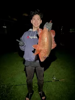
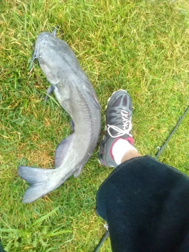
uploaded by: Mr.Chow
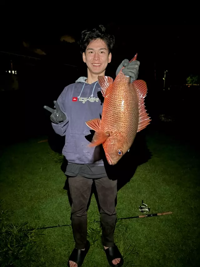
uploaded by: Mr.Chow
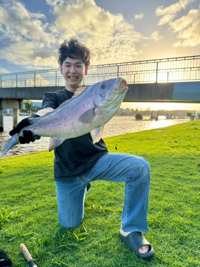
uploaded by: Chadderikk

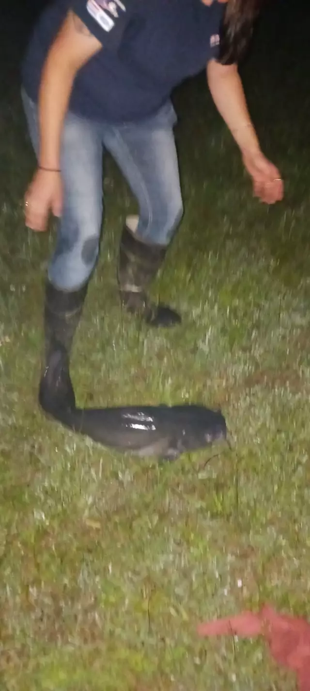
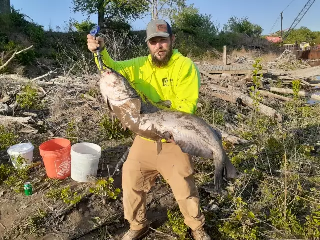
uploaded by: Mike Brooks (Savage)
uploaded by: Mike Brooks (Savage)
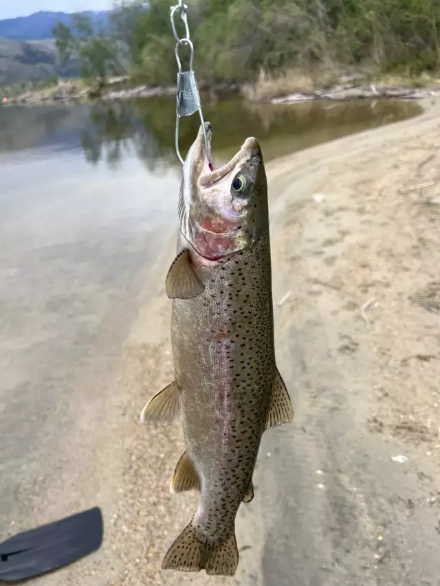
uploaded by: Terry Foster
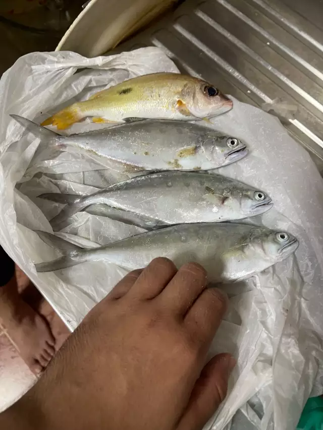
uploaded by: Doug Parr
uploaded by: Ahmed Elbasha
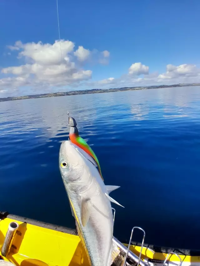
uploaded by: Hoza
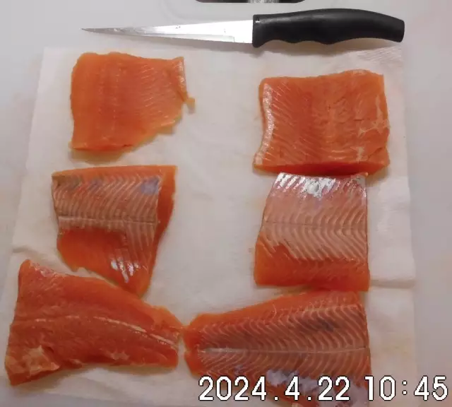
uploaded by: PT Edward fisher
Best Fishing Spots in the greater Montclair area
Beaches and Bays are ideal places for land-based fishing. If the beach is shallow and the water is clear then twilight times are usually the best times, especially when they coincide with a major or minor fishing time. Often the points on either side of a beach are the best spots. Or if the beach is large then look for irregularities in the breaking waves, indicating sandbanks and holes. We found 3 beaches and bays in this area.
Campbells Pond Dam - 13km , Newark Bay Bridge - 16km , Newark Bay - 19km
Harbours and Marinas can often times be productive fishing spots for land based fishing as their sheltered environment attracts a wide variety of bait fish. Similar to river mouths, harbour entrances are also great places to fish as lots of fish will move in and out with the rising and falling tides. There are 2 main harbours in this area.
Port Newark - 16km, North Cove Yacht Harbor - 20km
We found a total of 94 potential fishing spots nearby Montclair. Below you can find them organized on a map. Points, Headlands, Reefs, Islands, Channels, etc can all be productive fishing spots. As these are user submitted spots, there might be some errors in the exact location. You also need to cross check local fishing regulations. Some of the spots might be in or around marine reserves or other locations that cannot be fished. If you click on a location marker it will bring up some details and a quick link to google search, satellite maps and fishing times. Tip: Click/Tap on a new area to load more fishing spots.
Clarks Pond - 2km , Verona Lake Dam - 3km , Crystal Lake - 4km , Lake Vincent - 5km , Great Notch Reservoir Dam - 6km , Kingsland Lake - 6km , Barbour Pond - 8km , Butchers Pond - 8km , Cable Lake - 8km , Wanaque Aqueduct - 8km , Dundee Dam - 9km , Highland Lake Dam - 9km , New Street Reservoir Dam - 9km , Bridge Street Bridge - 10km , Jersey City Aqueduct - 10km , Orange Reservoir Dam - 10km , Pine Brook Bridge - 10km , Roveres Lake - 10km , Berrys Creek Canal - 11km , Dahnerts Lake - 11km , Jackson Street Bridge - 11km , North Pond - 11km , South Pond - 11km , Swinefield Bridge - 11km , Swins Ponds - 11km , Adams Lake - 12km , Butler Pond - 12km , Point No Point - 12km , Grebe Pond - 13km , Bridge Pond - 13km , Campbells Pond Dam - 13km , Cooks Bridge - 13km , Horse Neck Bridge - 13km , Packanack Lake Dam - 13km , Smith Ditch - 13km , Kearny Point - 14km , Canoe Brook Dam - 14km , Country Club Ponds - 14km , Lotz Pond - 14km , Weequahic Lake - 14km , Lincoln Highway Bridge - 14km , Barbour Mill Dam - 15km , Canoe Brook Reservoir Number 1 - 15km , Hinchman Pond - 15km , Lower Chatham Bridge - 15km , Morris Canal - 15km , Toms Lake - 15km , Willow Lake - 15km , Briant Park Dam - 16km , Canoe Brook Reservoir Number 2 - 16km , Droyers Point - 16km , Forge Pond - 16km , Newark Bay Bridge - 16km , Port Newark - 16km , Alexanders Pond - 17km , Chatham Bridge - 17km , Crestmere Lake - 17km , East Ditch - 17km , Haledon Reservoir Dam - 17km , Lionhead Lake - 17km , Point View Dam - 17km , Pompton Dam - 17km , Sheffield Pond - 17km , Weehawken Cove - 17km , Boonton Reservoir Dam - 18km , Castle Point - 18km , Days Point - 18km , Lake Valhalla Dam - 18km , Patex Pond Dam - 18km , Great Ditch - 19km , Harsimus Cove - 19km , Lower Blauvelt Lake - 19km , Newark Bay - 19km , Pines Lake Dam - 19km , Pompton Lakes Dam - 19km , Sawmill Pond Dam - 19km , Surprise Lake Dam - 19km , Untermeyer Dam - 19km , Wild Duck Pond - 19km , Ziegler Pond - 19km , Caven Point - 20km , Clark Pond - 20km , Echo Lake - 20km , Ellis Island - 20km , Fayson Lakes Lower Dam - 20km , Garden Pond - 20km , Maple Lake Dam - 20km , Piscatells Pond - 20km , Rock Breakwater - 20km , Spring Pond - 20km , Howland Hook - 20km , Liberty Island - 20km , North Cove Yacht Harbor - 20km , Rambaut Dam - 20km
Comments